Flood operations are underway. Learn more.

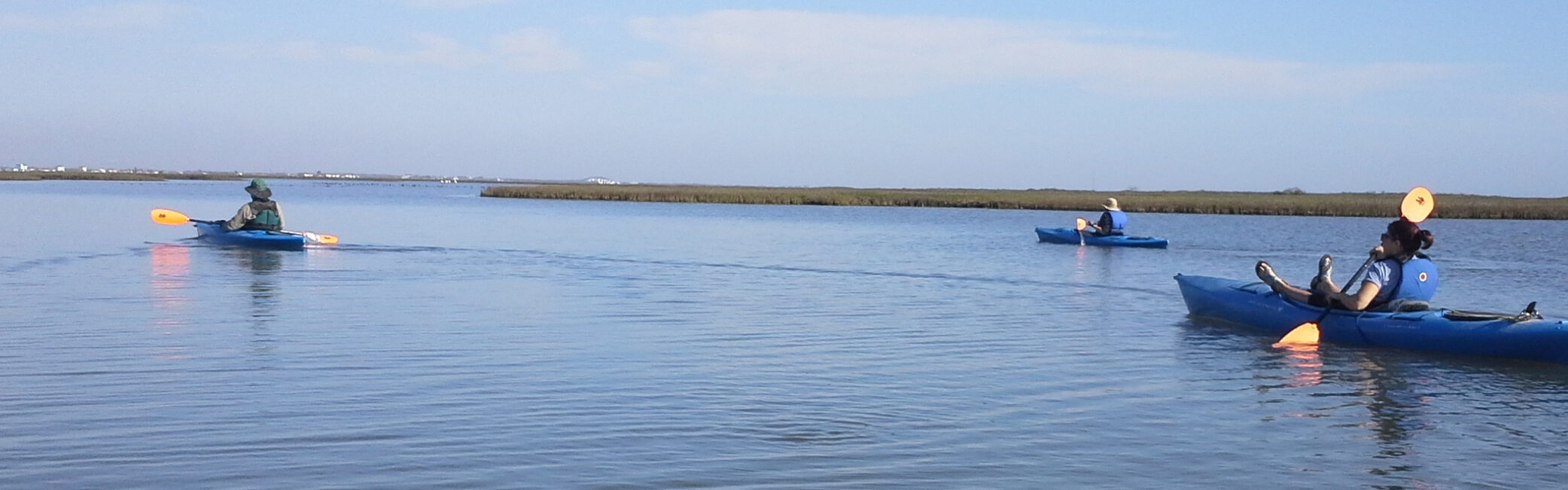
Your Guide to Kayaking/Canoeing the Lower Colorado River
Chart Your Course
Discover the wild beauty of Texas on the lower Colorado River—where every paddle reveals vibrant, exciting waters and the shores uncover native plants and wildlife, creating the best Texas adventure for a paddler.
Portage LocatIons
Loading map...
Matagorda Bay Nature Park
River Bend Boat Ramp
FM 521 River Park
Riverside Park
Texas 35 Bridge
Hollywood Bottom Park
FM 960 Bridge
FM 950 Bridge
Altair Boat Ramp Bridge
Beason's Park on the Colorado
Texas 71 Business Bridge Access
Plum Park on the Colorado
Vernon L. Richards Riverbend Park
Loop 230 Bridge
Lost Pines Nature Trails Park
Bastrop Fisherman's Park
Bob Bryant Park
FM 969/Utley Bridge
Big Webberville Park
Little Webberville Park
FM 973/Del Valle Bridge
US 183 Bridge
Buffalo Trail Park
White Rock Park
Matagorda Bay Nature Park
This is the final access point on the lower Colorado River. The park is at the mouth of the Colorado River on the Gulf of Mexico. It is at the end of CR 2031.
Managed by: LCRA Parks
Site Information
Miles to Start
288
Miles to Previous Point
5
Latitude
28.60
Longitude
-95.98
River Bend Boat Ramp
This ramp is 1 mile downstream of the Intracoastal Waterway. The ramp provides access to the last 6 miles of the Colorado River, Intracoastal Waterway and portions of Matagorda Bay. River access is downstream right.
Managed by: Texas Parks and Wildlife Department
Site Information
Miles to Start
283
Miles to Previous Point
11
Miles To Next Point
5
Miles to Gulf
5
Latitude
28.67
Longitude
-95.97
FM 521 River Park
This park was developed by LCRA and is open 24 hours a day. It is 4 miles west of Wadsworth on FM 521. River access is on your left as you paddle downstream.
Managed by: Matagorda County Pct. 3
Site Information
Miles to Start
272
Miles to Previous Point
11
Miles To Next Point
11
Miles to Gulf
16
Latitude
28.79
Longitude
-96.00
Riverside Park
The park is 1 1/2 miles off FM 2668 and is open 8 a.m.-5 p.m. River access is on your left as you paddle downstream.
Managed by: Bay City
Site Information
Miles to Start
261
Miles to Previous Point
5
Miles To Next Point
11
Miles to Gulf
27
Latitude
28.92
Longitude
-96.02
Texas 35 Bridge
This access point is one mile west of Bay City off Hwy 35. If you plan to travel toward the Gulf of Mexico, there is no portage around Bay City Dam. LCRA recommends you take out at this location due to the proximity of Bay City Dam. The next public access to the river is at Riverside Park, south of Bay City. River access downstream right.
Managed by: Bay City
Site Information
Miles to Start
256
Miles to Previous Point
18
Miles To Next Point
5
Miles to Gulf
32
Latitude
28.98
Longitude
-96.00
Hollywood Bottom Park
This park is at the end of Wharton County Road 444, 4 miles east of FM 1162 and open 24 hours a day. Camping is permitted. River access is on your right as you paddle downstream.
Managed by: LCRA Parks
Site Information
Miles to Start
238
Miles to Previous Point
5
Miles To Next Point
18
Miles to Gulf
50
Latitude
29.16
Longitude
-96.04
FM 960 Bridge
This access point features an unimproved dirt path leading from FM 960 to the river’s steep edge. River access is downstream right.
Managed by: TxDOT
Site Information
Miles to Start
214
Miles to Previous Point
25
Miles To Next Point
19
Miles to Gulf
74
Latitude
29.34
Longitude
-96.20
FM 950 Bridge
This site provides pedestrian access to the river from the FM 950 right of way. A dirt path leads to the river’s steep banks. River access is on your left as you paddle downstream.
Managed by: TxDOT
Site Information
Miles to Start
189
Miles to Previous Point
6
Miles To Next Point
25
Miles to Gulf
99
Latitude
29.45
Longitude
-96.40
Altair Boat Ramp Bridge
A boat ramp is located 3 miles east of Altair on the south side of US 90A. River access is on your left as you paddle downstream.
Managed by: LCRA Parks
Site Information
Miles to Start
177
Miles to Previous Point
20
Miles To Next Point
6
Miles to Gulf
111
Latitude
29.58
Longitude
-96.42
Beason's Park on the Colorado
This park features a day-use area. The access point is in Columbus off of US 90. River access is on your left as you paddle downstream.
Managed by: Colorado County
Site Information
Miles to Start
157
Miles to Previous Point
6
Miles To Next Point
20
Miles to Gulf
131
Latitude
29.71
Longitude
-96.54
Texas 71 Business Bridge Access
River access is on your left as you paddle downstream.
Managed by: Texas Parks and Wildlife Department
Site Information
Miles to Start
151
Miles to Previous Point
34
Miles To Next Point
6
Miles to Gulf
137
Latitude
29.71
Longitude
-96.55
Plum Park on the Colorado
This park is a day-use only area. From Austin, travel east on Hwy 71 for 12 miles past Smithville, and turn left on Prairie Valley Road (CR 448). Camping is permitted for those arriving by river or by prior arrangement with LCRA parks. River access is on your right as you paddle downstream.
Managed by: LCRA Parks
Site Information
Miles to Start
97
Miles to Previous Point
17
Miles To Next Point
18
Miles to Gulf
191
Latitude
29.97
Longitude
-97.00
Vernon L. Richards Riverbend Park
This park is open 24 hours a day. River access is on your left, downstream of a wooden pier, as you paddle downstream.
Managed by: City of Smithville
Site Information
Miles to Start
80
Miles to Previous Point
1
Miles To Next Point
17
Miles to Gulf
208
Latitude
30.02
Longitude
-97.14
Loop 230 Bridge
Boat ramp is on your left as you paddle downstream.
Managed by: Texas Parks and Wildlife Department
Site Information
Miles to Start
79
Miles to Previous Point
19
Miles To Next Point
1
Miles to Gulf
209
Latitude
30.01
Longitude
-97.16
Lost Pines Nature Trails Park
The Lost Pines Nature Trail site is adjacent to the Pines and Prairies Land Trust’s Colorado River Refuge (from Hwy 71, south on Tahitian Drive, right on Riverside Drive). This 30-acre park, open 24 hours a day, is on the left as you paddle downstream.
Managed by: Bastrop County
Site Information
Miles to Start
60
Miles to Previous Point
6
Miles To Next Point
19
Miles to Gulf
228
Latitude
30.07
Longitude
-97.31
Bastrop Fisherman's Park
This landmark may be found near downtown Bastrop at the end of Farm Street. Boat ramp is open at 8 a.m. to 10 p.m. and is located on your left as you paddle downstream.
Managed by: City of Bastrop
Site Information
Miles to Start
54
Miles to Previous Point
1
Miles To Next Point
6
Miles to Gulf
234
Latitude
30.11
Longitude
-97.33
Bob Bryant Park
This park is open from 6 a.m. to 10 p.m. seven days a week. It is located at the corner of Charles Boulevard and Hasler Shores (behind Bastrop Intermediate School). A concrete boat ramp enters the water on the right as you paddle downstream.
Managed by: City of Bastrop
Site Information
Miles to Start
53
Miles to Previous Point
13
Miles To Next Point
1
Miles to Gulf
235
Latitude
30.12
Longitude
-97.34
FM 969/Utley Bridge
River users will find this site north of FM 1209 and FM 969 intersection. The access point is on the left as you paddle downstream.
Managed by: TxDOT
Site Information
Miles to Start
40
Miles to Previous Point
14
Miles To Next Point
13
Miles to Gulf
248
Latitude
30.17
Longitude
97.40
Big Webberville Park
This park, operated by Travis County, is on Park Lane off Webberville Drive and west of FM 969. Park is open at 8 a.m. until dark each day and is located on the left as you paddle downstream.
Managed by: Travis County Parks
Site Information
Miles to Start
26
Miles to Previous Point
5
Miles To Next Point
14
Miles to Gulf
262
Latitude
30.21
Longitude
-97.50
Little Webberville Park
This park is off of FM 969, approximately 5 miles west of Webberville. This access is on the left as you paddle downstream. Park is open 24 hours a day.
Managed by: Travis County Parks
Site Information
Miles to Start
21
Miles to Previous Point
12
Miles To Next Point
5
Miles to Gulf
267
Latitude
30.23
Longitude
-97.52
FM 973/Del Valle Bridge
Visitors can find this site downstream of Austin on the north side of FM 973 on the left as you paddle downstream. There is limited parking alongside the bridge, and boat launching requires a transport over uneven ground.
Managed by: TxDOT
Site Information
Miles to Start
9
Miles to Previous Point
9
Miles To Next Point
12
Miles to Gulf
279
Latitude
30.21
Longitude
-97.64
US 183 Bridge
This is the first public access point downstream of Longhorn Dam in Austin. This access, maintained by TxDOT, is on the left as you paddle downstream. The stretch from here to FM 973 requires a river left portage around a low-head dam, 4.75 miles downstream.
Managed by: TxDOT
Site Information
Miles To Next Point
9
Miles to Gulf
288
Latitude
30.25
Longitude
-97.69
Buffalo Trail Park
This park, maintained by City of La Grange, is on the south side of Hwy 71 Business, located 2 miles past the exit and open 24 hours a day. River access is on your left as you paddle downstream.
Managed by: City of La Grange
Site Information
Miles to Start
115
Miles to Previous Point
18
Miles To Next Point
2
Miles to Gulf
173
Latitude
29.90
Longitude
-96.89
White Rock Park
This day-use park was developed by LCRA and operated by City of La Grange. From Hwy 71 Business in La Grange, turn south on E. Elbin then turn left on Mode Lane, and the park entrance is on the right. River access is on your left as you paddle downstream (watch for the concrete steps on your left).
Managed by: City of La Grange
Site Information
Miles to Start
117
Miles to Previous Point
2
Miles To Next Point
34
Miles to Gulf
171
Latitude
29.90
Longitude
-96.86
Plan your River Journey
Pace Of the Paddle
Your average speed of travel depends on the current. Most paddlers cruise at around 2-3 miles per hour, while seasoned explorers can zip along at 4-6 miles per hour.
Time On the River
To estimate your journey time, check the river miles between your start and end points, then divide by two to get a rough idea of your hours on the water.
River and Weather Watch
Conditions can shift fast, especially in spring when floods are common. Stay in the know with LCRA Hydromet, a network of 275+ automated river and weather gauges delivering real-time data on streamflow, river stages, rainfall, temperature and humidity across the lower Colorado River basin.
What to Bring
- Life jacket for everyone (required by law)
- Drinking water
- Sunscreen
- First aid kit
- Insect repellant
- Extra paddle
- Watercraft repair kit
- River maps
- Cell phone
- GPS unit
- Signaling device (like a whistle)
- Dry bag for essentials
Know the Essentials, Too
Boater Safety
Wearing a life jacket is the best way to stay safe on the water! Be prepared by bringing water, snacks, important info and the right gear. If you’re new to paddling, check out introductory classes from the American Canoe Association to get started with confidence.
Take a moment to scout your take-out spot before you begin. Walk down, note the landmarks and be ready as you approach from upstream. Don’t forget to let someone know your plans and when you’ll be back.
Private Property and Portages
Help keep the river experience enjoyable for all by respecting private property—avoid trespassing, keep noise low and leave no trace. The river is navigable, meaning you’re free to use the streambed and riverbanks for portaging around hazards. Just be mindful that any other use of private land along the banks requires the owner’s permission. Texas law considers entering private land without permission as trespassing, so keep an eye out for signs like fences, posted notices or purple paint along the riverbanks.

Portage Contacts
- LCRA Parks: 512-473-3366
- LCRA: 512-369-4778
- TxDOT: 512-463-8588
- Travis County Parks: 512-854-7275
- City of Bastrop: 512-321-3957
- Bastrop County: 512-332-7201
- City of Smithville: 512-332-7201
- City of La Grange: 979-968-5805
- Colorado County: 979-732-2604
- Matagorda County: 361-558-6866
- Bay City: 979-245-0340
- Texas Parks and Wildlife Department: 512-389-4800